Bird's-Eye History: 17th-Century French City Views
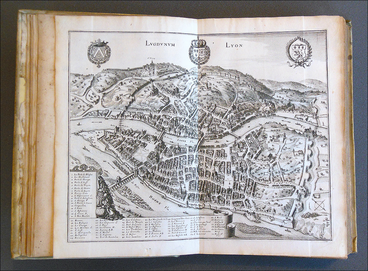 Just because people 400 years ago didn't have the interactive mapping tools that we have today doesn’t mean they didn't know what faraway places looked like. By the 1600s, several large collections of city views, accompanied by detailed descriptions, had been published, allowing readers to travel all over Europe and even to other continents without leaving the comfort of home.
German cartographers and engravers set the standard for these kinds of books. Sebastian Münster published his Cosmographia in 1544, a hugely popular work that would eventually go through dozens of editions. It was followed by Georg Braun and Frans Hogenberg's Civitates orbis terrarum, published between 1572 and 1617. Already large and expensive, these books were often made even more sumptuous by hand-coloring the black-and-white engravings.
Another major figure in the production of cityscapes was the artist Matthäus Merian. Born in Switzerland, as a young man Merian enjoyed sketching towns he visited. After taking over his father-in-law's publishing house in Frankfurt, he collaborated with the geographer Martin Zeiler to produce a multivolume set of descriptions of all the major towns and cities in Germany. Publication of Topographia Germaniae began in 1642 and took twelve years to complete.
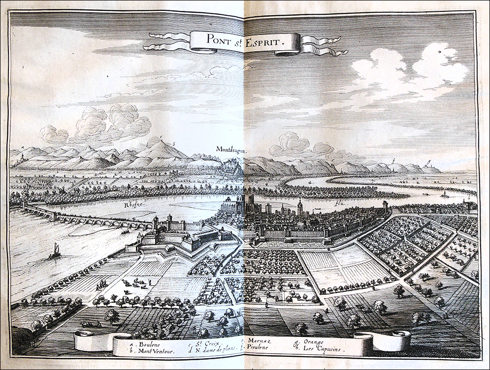
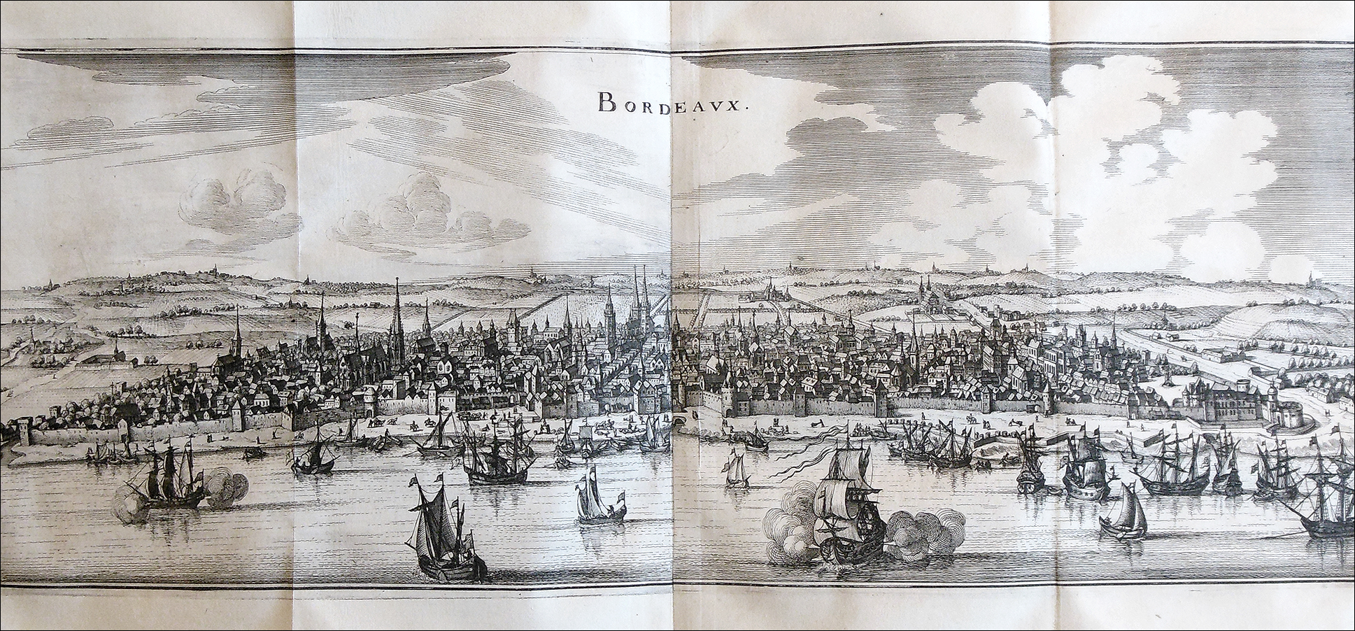
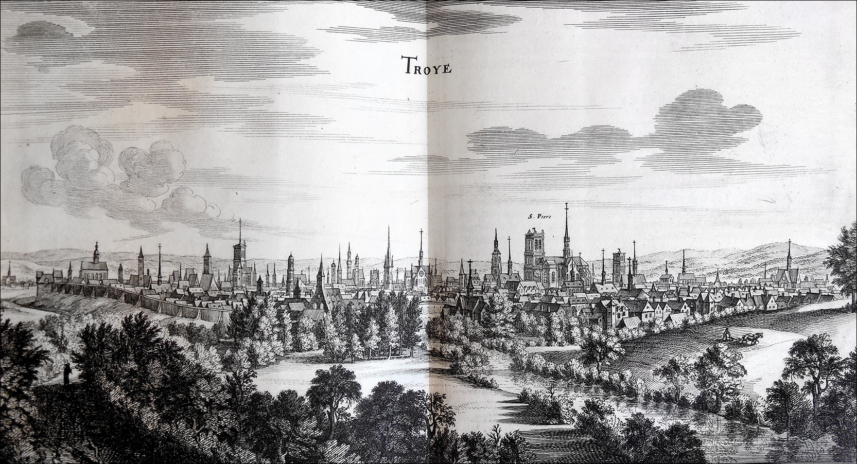
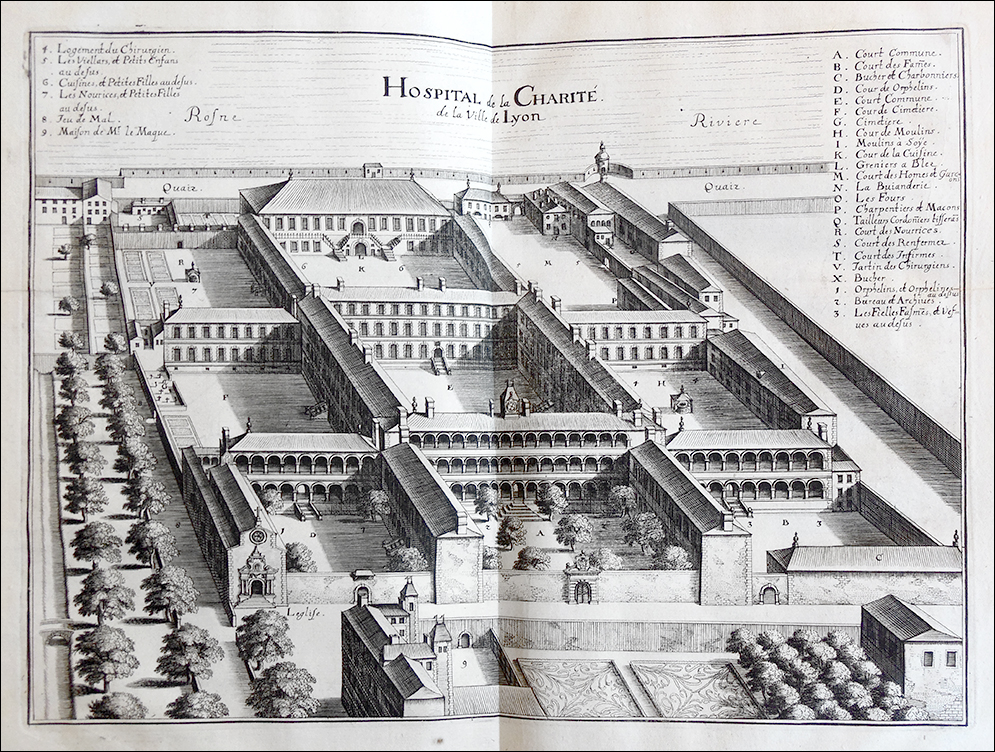
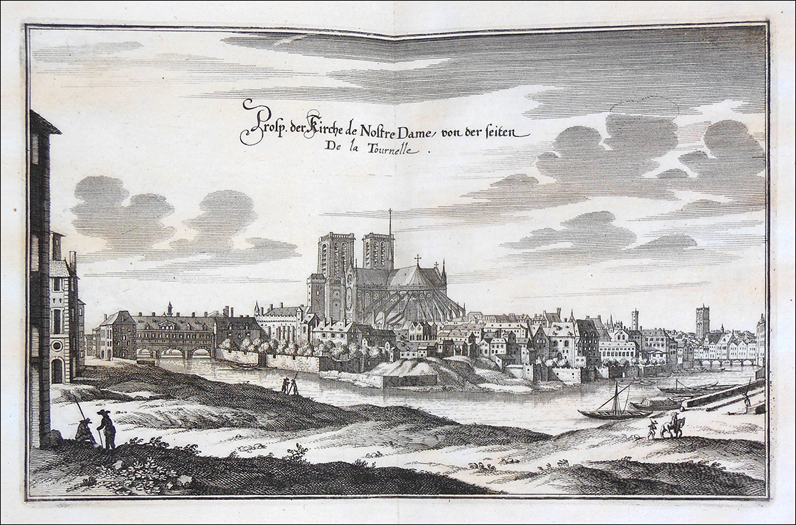
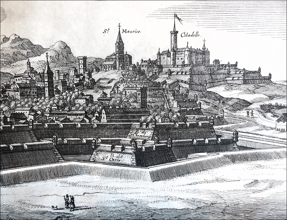
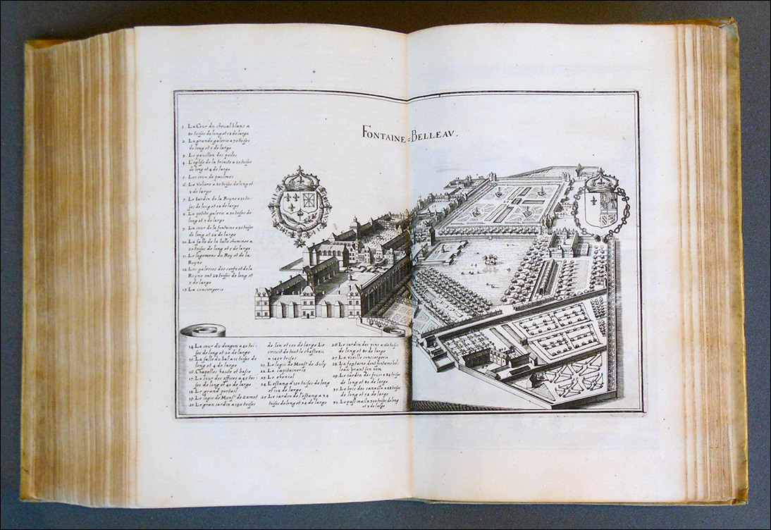
Although Merian died in 1650 before the project was finished, his heirs continued his work for another four decades, expanding it to cover most of Europe. In 1655, they began publication of a work on the towns, forts, chateaus, and other important buildings of France. Titled Topographia Galliae, it contains in addition to panoramas several bird's-eye views of cities, a remarkable feature at a time when human flight was still far into the future. The work was clearly popular, and not just for its vivid engravings, for by 1660 it had been translated into Dutch.
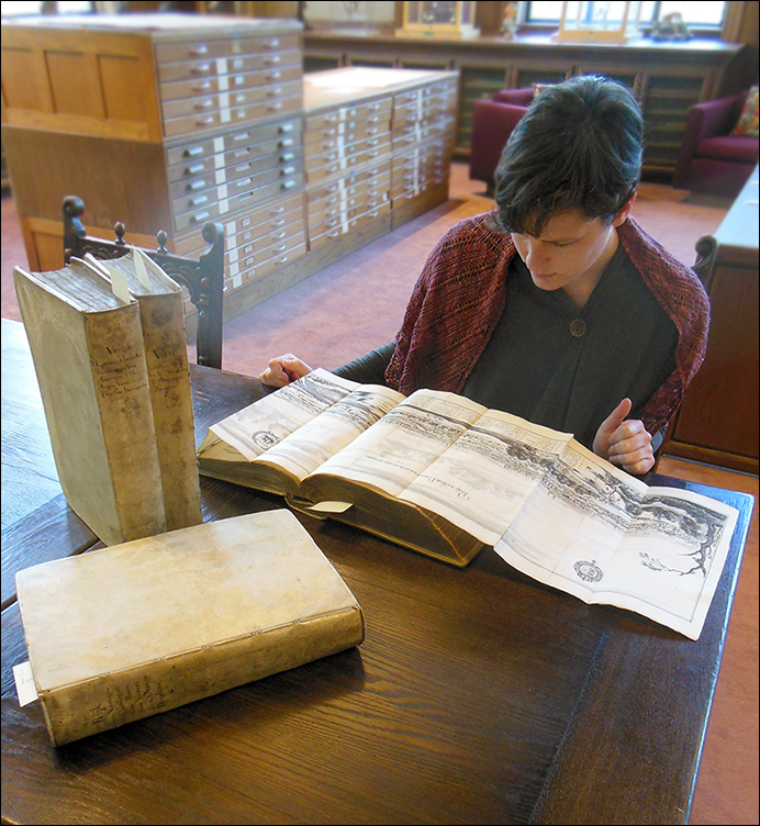 A copy of the four-volume Amsterdam edition is now in LSU's Rare Book Collection. Shown here is a small selection of the book’s approximately 400 illustrations. Originally created so people could see what life was like in a neighboring country, we can now use it to travel across time and study how a town's culture and history is reflected in its layout. It is also interesting to see what has changed (and remained the same) over the years.
Students and scholars are welcome to use this book in the Special Collections Reading Room. For information on our hours and policies, please visit our website.
The book's catalog record can be viewed here.
* * * * *
(Click on images to enlarge)
The LSU Libraries includes the LSU Library and the adjacent Hill Memorial Library. Together, the libraries contain more than 4 million volumes and provide additional resources such as expert staff, technology, services, electronic resources, and facilities that advance research, teaching, and learning across every discipline.
